Surveying
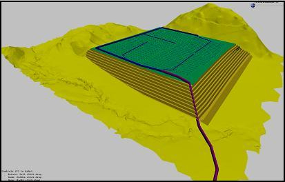
JPN Technologies Services cc uses Model Maker Systems Software for technical- and land-surveying, engineering, mining, town-planning, landscaping, quantity surveying, irrigation design and construction.
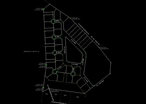
Survey calculations and diagrams, digital terrain / ground modelling, CAD, Contouring, Earthworks, Road-, Sewer-, Stormwater-, Irrigation-design and Volume calculations are only a little of what we offer.
 |
 |
Services
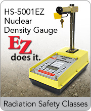
Surveying /Nuclear Soil Density
• Land and cadastral surveying and mapping
• Construction and building surveying
• Engineering surveying
• Road and drainage surveying
• Bulk earthworks and volumes
• Torrens Title, Strata and Community subdivisions
• Conveyancing surveys and reports
• Contour, detail and site analysis surveys
• Flood level surveys
• Topographical surveys
• B.O.M.A. surveys
• C.A.D. contract drafting
• High rise construction and supervision
• Subdivision design and layout
• Railway setout and alignment
• Bridge and overpass setout and construction
• Mining surveying
• Dam design and construction
• Monitoring surveys